MEMBERSHIP
AMPLIFY
EN ESPAÑOL
Connect With Us
- Popular search terms
- Automobile
- Home + Renters
- Claims
- Fraud
- Hurricane
- Popular Topics
- Automobile
- Home + Renters
- The Basics
- Disaster + Preparation
- Life Insurance
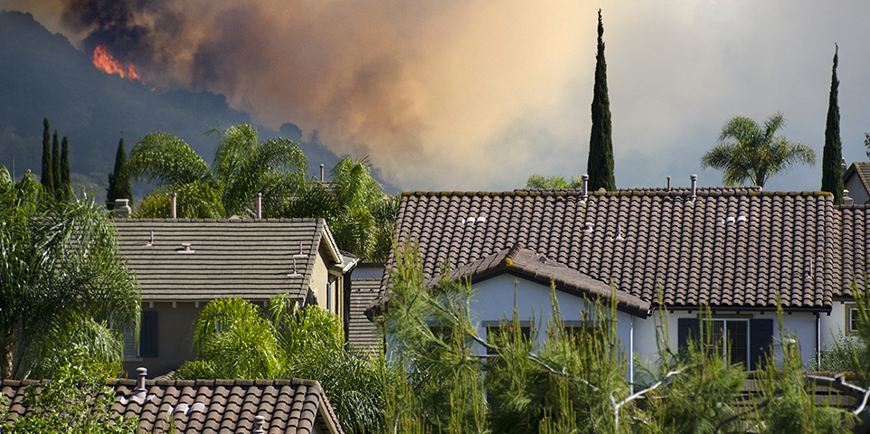
The study, Getting Granular to Find Lower-Risk Properties Amid Wildfire Perils, comes at a critical time as California continues to grapple with regulatory obstacles related to actuarially sound underwriting and pricing. Using Guidewire HazardHub predictive Wildfire Score methodology, Triple-I’s research demonstrated how granular geospatial data analysis can identify lower-risk properties, even in areas traditionally considered high-risk.
Please click on the file name below to view the white paper in PDF format. You will need Adobe Acrobat Reader to view the file.
Download triple-i_hazardhub_case_studies_05122025.pdf
You can download Adobe Acrobat Reader, free of charge, from the Adobe website (https://www.adobe.com/products/acrobat/readstep.html).
Note: Printer fonts may vary by browser and version of Adobe Reader.